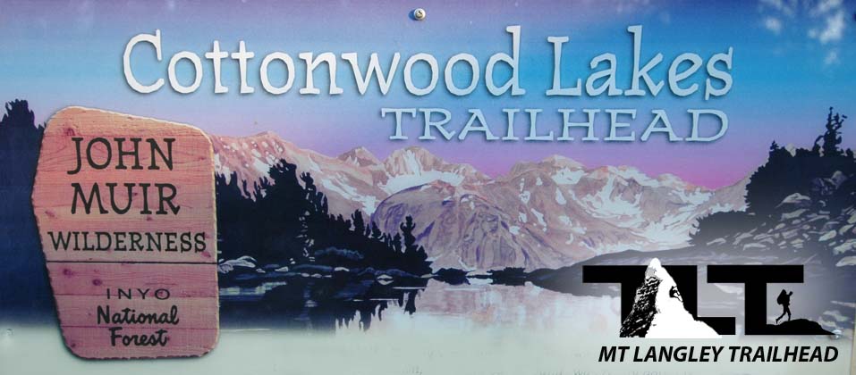
The Cottonwood Lakes Trailhead marks the start of a great adventure into beautiful meadows, lakes, and alpine terrain. Most people aim for Mt Whitney, and Whitney is certainly a noteworthy and great peak to climb, but I personally would consider the Mt Langley Trail more beautiful. The trail takes you almost all the way to the summit of Mount Langley except for the last 300 vertical feet which must be gained by means of a scrambling up class two rock. The distance from the trailhead at Horseshoe Meadows to the top of Mount Langley is about 10.5 miles. As mentioned on the Getting Started Page, camping is allowed on the grounds near the trailhead for a $6.00 fee, and bear boxes and toilets are provided along with ample parking.
Make sure you store your unattended food properly in the provided bear boxes. Also, do not leave items such as ice chests visible in the vehicle. Even when empty, bears have more than enough experience to know that containers such as ice chests usually contain food. A wilderness permit is required for all overnight camping once on the trail, and can be obtained at any of the Ranger stations along highway 395.
 In the photo
to the left,
above,
you see the group standing at the starting point for the Cottonwood Lakes Trailhead. Please note that the sign here also states "New Army Pass Trail. A few miles up you will come to a fork in the trail. The southern trail that goes to the left will take you to the New Army Pass and South Fork Lakes. To the right (north) leads to the Old Army Pass and the Cottonwood Lakes basin.
In the photo
to the left,
above,
you see the group standing at the starting point for the Cottonwood Lakes Trailhead. Please note that the sign here also states "New Army Pass Trail. A few miles up you will come to a fork in the trail. The southern trail that goes to the left will take you to the New Army Pass and South Fork Lakes. To the right (north) leads to the Old Army Pass and the Cottonwood Lakes basin.We choose to go right (north) and traveled the way of Cottonwood Lakes and reached the summit plateau via Old Army Pass. This route is more direct, and in my opinion more beautiful than the southern route.
The only downside to the Old Army Pass route is that the trail from Cottonwood Lakes basin over the pass is unmaintained. However, the Old Army Pass Route seemed perfectly fine to me, and there are certainly plenty of folks that take this option so the path is actually well worn.
 In the image
to the right
above
you see backpackers loaded up and heading into the John Muir wilderness. The trail marker indicates that you are entering the John Muir Wilderness. This trail marker is not far from the trailhead.
In the image
to the right
above
you see backpackers loaded up and heading into the John Muir wilderness. The trail marker indicates that you are entering the John Muir Wilderness. This trail marker is not far from the trailhead.The trail starts off fairly level and you should make good progress at this stage of the adventure. Lots of little streams and log crossings early on, and the gentle start is great for getting warmed up. You will have plenty of elevation to gain later on.
Due to the fact that the Cottonwood Lakes Trailhead gives you such a high start along with other factors such as a great trail and many sources of water along the way, I would consider Mt Langley to be the second easiest 14er in California, just after White Mountain But another reason why I think hiking the Cottonwood lakes trail is so worthwhile, is because of the beauty along the way. With it's many lakes, meadows, and beautiful little tarns, it is hard to beat when it comes to the pure enjoyment of experiencing God's great outdoors. Email Sign Up

|
Join the Adventure! Sign up here for Timberline Trails Monthly Newsletter |

Join us on Instagram
©2006-2026 TimberlineTrails. All Rights Reserved.
....